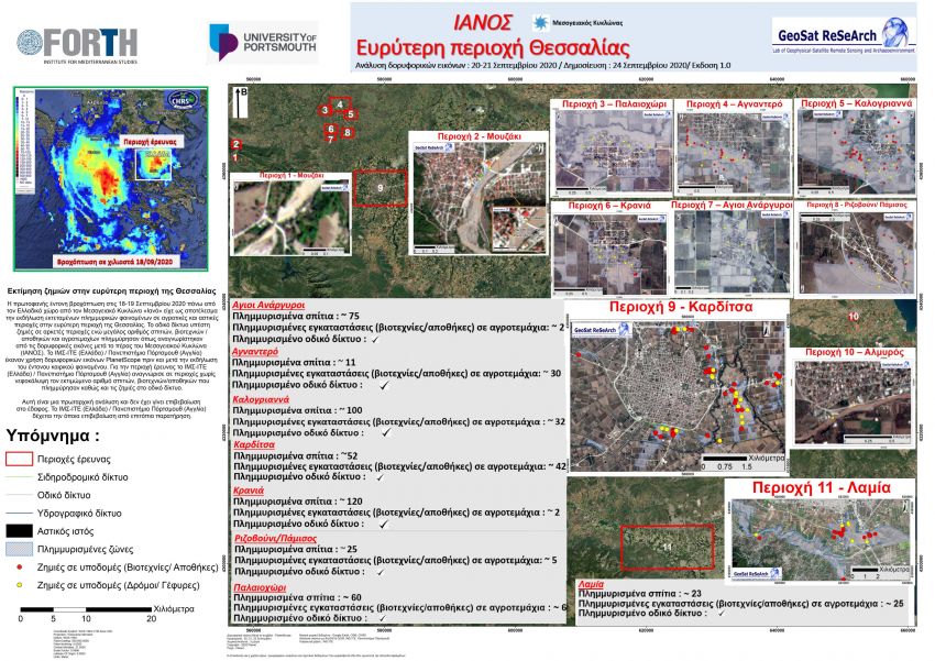
The critical role of Remote Sensing in the post-damage assessment of IANOS.
The unprecedented heavy rainfall on 18-19 September 2020 over the Greek territory as caused by the Mediterranean Cyclone "Ianos", resulted in the occurrence of extensive flooding in rural and urban areas in the wider region of Thessaly.
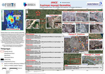
The Laboratory of Geophysical-Satellite Remote Sensing & Archaeo-Environment of the Institute for Mediterranean Studies at the Foundation for Research and Technology-Hellas (FORTH) and the University of Portsmouth in England, used Planet Scope satellite images before and after the disastrous event. For the specific area of interest, there was an approximate evaluation of the flooded houses, craft industries, warehouses and agricultural fields, while severe damages were identified in the road network. These primary results, as shown in the relevant figure, highlight the critical role of satellite remote sensing in the rapid assessment of the effects of severe weather events, which can serve to provide detailed information to the governmental authorities for faster and more efficient evaluation of disastrous natural hazards, assisting the Civil Protection Mechanism.
The Laboratory of Geophysical - Satellite Remote Sensing & Archaeoenvironment (GeoSat ReSeArch Lab) has been active for the past 25 years in the field of Geoinformatics covering a wide range of geophysical surveys, Geographic Information Systems (GIS), Remote Sensing, aerial-photography and photogrammetry, 3D landscape modeling, giving emphasis to the natural and cultural environment.